Discover when drone photography NYC makes sense for your listing and how aerial media enhances real estate marketing with RealtaSnap’s expert insights.
Why Real Estate Media Matters
Drone photography NYC has become an important consideration for real estate professionals who want to offer a unique visual perspective on certain properties. In dense urban neighborhoods and changing skylines, ground-level photos may not fully capture a property's relationship to its surroundings or special exterior features. For agents and property managers evaluating marketing options, understanding when aerial media truly adds value is essential rather than relying on it as a default for every listing.
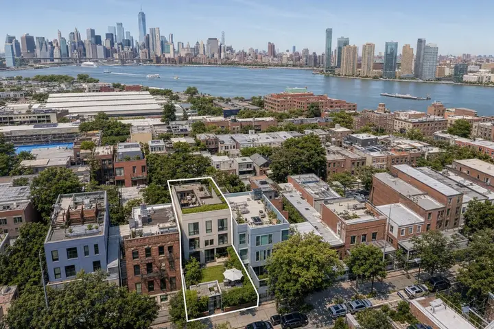
Choosing to include aerial photography is rarely about dramatic visuals alone. The real question is whether an elevated view allows prospective buyers or tenants to see aspects that simply aren't visible from the street, lobby, or a balcony. Many listings showcase rooms, finishes, and interiors beautifully with standard photography, but an aerial angle can clarify features like roof decks, gardens, large lots, or proximity to parks and waterfronts.
Practical drone photography in real estate is not just about impressing viewers but providing visual context that helps explain setting, access, and scale. Aerial images or video can show a townhome's rear garden, a parking area behind a commercial building, or how a yard wraps around a property. These details are sometimes difficult to convey from ground shots alone and may make a real difference in how a property is understood.
Video, 3D Tours, and Visual Storytelling
Drone work is particularly useful for listings with exterior amenities such as terraces, private gardens, large driveways, or significant setbacks. Properties near major transit routes, highways, waterfronts, or open parkland can also benefit from an overhead perspective that establishes real-world convenience. For larger multifamily or commercial sites, the building's footprint and access points become much clearer when viewed from above.
In New York City, the strict airspace rules, tall buildings, and busy streets mean that not every property is suitable for drone coverage. Feasibility depends on the location, weather, surrounding obstacles, and whether roof or outdoor access is available for safe launch and landing. Drone flights are never guaranteed; each address is considered individually, with FAA rules, local restrictions, and pilot judgment guiding the decision.
Manhattan presents special challenges due to its density, tall structures, heliports, and high pedestrian activity. However, when a listing includes a roof terrace, a corner position, or sits near a park or a waterfront, an aerial image can offer a level of context not possible from the ground. Roof access can sometimes improve feasibility, but it is not an assurance that aerial work will occur at every address.
Why Agents Choose RealtaSnap
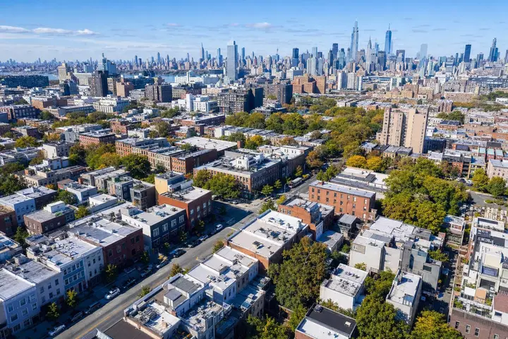
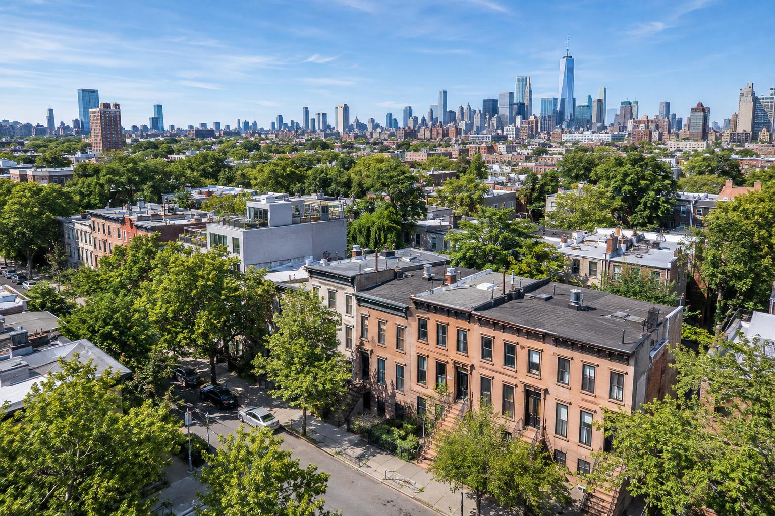
- Brooklyn offers more varied opportunities for aerial real estate photography, especially where brownstones, townhouses, and mid-rise buildings have visible outdoor space or are situated on garden blocks. Water views, rooftops, or open lots may allow for clearer and more useful aerial images, but neighborhood rules, access requirements, and site safety still play a key role in planning the shoot.
- In Queens, the Bronx, and Staten Island, properties with larger footprints or outdoor amenities often warrant a closer look at drone options. Detached homes, development sites, and buildings near open land or major roads may be good candidates for aerial media. However, even in these less dense boroughs, safe operations are evaluated case by case rather than assumed.
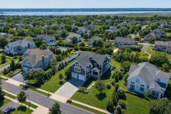
- For New Jersey properties just outside the city, drone photography real estate services are often requested for larger yards, prominent home sites, pools, or commercial complexes with parking and multiple entry points. A bird’s-eye view can connect the dots between land, buildings, access, and nearby features, making the full layout easier for clients to visualize.
Fast Turnaround and Better Results
When considering aerial media, it helps to define what your target audience needs to see from above. Rather than asking for a handful of generic drone photos, consider the specific exterior feature, site relationship, or spatial challenge that a ground-level image cannot address. Matching the aerial shot to a meaningful marketing message makes the results far more impactful.
A detailed request up front streamlines the drone feasibility review. Have the property address, type, desired exterior angles, access information, and any relevant site notes ready. Roof access, building authorization, and a clear understanding of restrictions help determine if a safe, legal flight is possible for your listing. RealtaSnap guides clients through this review, coordinating the details and addressing requirements up front.
Weather and timing also influence the success of aerial shoots. Skyline and water views are best with good visibility, while the sun’s angle creates different effects at various times of day. For properties with specific orientation or feature priorities, early communication about timing needs helps RealtaSnap plan for optimal results.
Drone photos work well for galleries and listing overviews, while drone video helps reveal movement, transitions, and site relationship in ways still images cannot match. RealtaSnap offers aerial photos, video, and combined options, so you can select what best supports your marketing plan. All prices and information are subject to change. Information is deemed reliable but not guaranteed.
Ready to Elevate Your Next Listing?
Ready to get started? Visit RealtaSnap to explore our services and book your next shoot.
Frequently Asked Questions
How do I know if my NYC property is eligible for drone photography?
Eligibility is determined case by case based on the address, airspace, access, weather, and regulatory considerations, each location is reviewed individually before confirming drone service.
What information should I provide when requesting aerial real estate photography?
Be prepared with the property address, type, key exterior features, preferred deliverables, access details, and relevant site notes to help evaluate feasibility and coordinate the shoot.
Are drone flights always guaranteed if I request them?
Drone flights are never guaranteed and depend on factors like FAA approval, pilot discretion, local restrictions, weather, and site safety at the specific property.